Waipi’o and Waimanu Valleys trek to exclusive black sand beach.
9/5/2017
We woke early and caught a beautiful sunrise over Hualālai volcano. Finished last minute errands around Kona then headed up coast to Waimea. Kona is an incredibly dry region of the island, but the island suddenly became lush and alive as we drove through Waimea. Hawai’i has 4 out of the 5 major climate zones (missing the continental climate, which occurs in places like Fairbanks, Alaska, and Fargo, North Dakota) and 8 of the 13 sub-zones: continuously wet (humid tropical climate), monsoon (humid tropical climate), dry (humid tropical climate), dry arid (dry climate), dry semi-arid (dry climate), summer dry (temperate climate), continuously wet (temperate climate), and polar tundra (polar climate), What is not found includes: winter dry (continental), winter dry (temperate), summer dry (continental), continuously wet (continental), and polar ice caps (polar). Waimea sits in the continuously wet – temperate climate, but the Waipi’o and Waimanu Valleys are a continuously wet – humid tropical climate region. The tropical forest I loved only occurs in the valleys on this side of the island.
We started our hike from the Waipi’o Valley Lookout. This place is amazing but Waimanu Valley on the far side was even better. From the lookout, we could just make out the zig-zag trail leading up the far valley wall. Today, families in Waipi’o Valley continue the tradition of their forefathers by planting taro, a type of root vegetable, and producing poi, a Polynesian staple food from mashing up the cooked tuber or corm of the taro.
After hiking down the steep road, we crossed the river to begin the Muliwai Trail to Waimanu Valley. This is one of the least developed regions of Hawai’i island. There are a series of valleys running from Waipi’o the north to Pololu in the west. They formed from volcanic faulting and subsequent stream erosion from when sea level was up to 1000 feet lower than today. The current valley floors formed at a modern sea level, creating flat and fertile grounds.
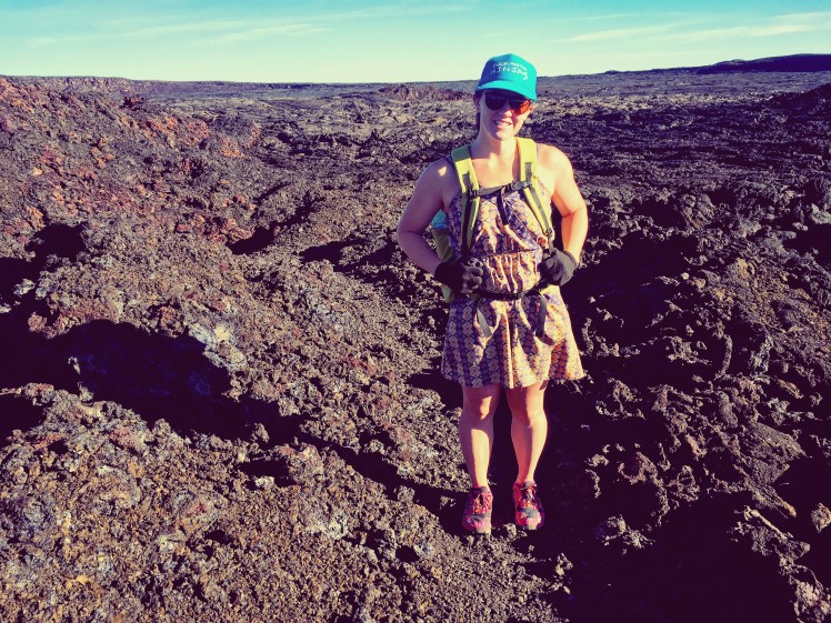
I sported my hiking dress and new MLD Burn pack for this trip. I am so excited to push my UL strategies to pack smaller and lighter. I have big thru-hiking plans for the future, so I plan to hone in my gear over the next couple years of short excursions. Saw several semi-wild horses in Waipi’o Valley. Both Waipi’o and Waimanu Valleys supported large Hawaiian populations. These remain important cultural sites and location of sacred burial grounds. It was an incredible experience to pass through these valleys.
After hiking down, up, across, and back down into Waimanu Valley, there was a final river crossing to an immaculate, black sand beach almost empty save for ourselves. I don’t know if it is due to the large influx of fresh river water and/or the complete lack of carbonates, but this was one of the nicest beaches I have ever been to. I bathed in ocean water and actually felt clean! The only downside was having but a single night in this paradise. Waimanu Valley is well worth the 9.5 miles of descending 1,200 feet into Waipi’o Valley, fording Wailoa stream, ascending 1,200 feet up the Waipi’o Valley wall, traversing across 12 smaller gulches, and finally descending on steep switch-backs into Waimanu Valley. I could have stayed for days, foraging fruit from the trees, forgetting the worries of life.
That night was hot! We slept without the rain fly, but still in the tent for bug prevention. It was a beautiful starry night and brilliantly bright moon. I seriously felt like sun was shining as the moon came right up the middle of the valley, peering down on us in the night.
My sister and I met nice local guy who told us about a good water source. He called it a spring, but it was more like a waterfall with a pipe fixed into it for safer access. Still, great to have extra water. We had packed in a bunch, heading warnings to not drink the valley water due to all the agriculture drainage. So it was awesome that we had extra water for tea before bed!
We celebrated the beautiful day, kickass hike in, and secluded beach setting with IPA beer and avocado chips that I packed in (and then packed out the remaining rubbish for. Please, people, LNT – Leave No Trace – at all times!).
Kona was dry and brown. Waimea was a green valley microniche. Felt like we hiked through completely different biomes. Hot, tropical beach down into Waipi’o, climbed up loose non-deciduous leaf litter, hiked across dry pine needle forest, then palm forest with passion fruit and avocado trees, down into Waimanu Valley on slippery palm blades with their razor edges, and back into tropical beach land. Cliff faces lined with waterfalls. So much lush greenery. Wild-ish horses in Waipi’o Valley. Felt like we were the only humans alive in Waimanu Valley.
The forests are mostly non-native. The ridge tops were planted in the 1930’s, but along the Waimanu rim is a native forest section of ‘ohi’a-kopiko-lama (Metrosideros-Psychotria-Diospyroa) and the understory supports Cibotium tree ferns (hapu’u) and Clermontia fleshy fruit-bearing shrubs (oha’wai). This was definitely a nook of lush, green life.
We couldn’t see the sunset, but watched the sky darken and colors streak by. We were both ready for an early night to bed.
Check out my Instagram (@schemesinmotion) for more photos and videos!

Waipi’o Valley

Small gulch with inviting water

I have the coolest sister!

Crossing Waimanu stream

Sister love!

Beach camping

Sunrise from Waimanu Valley

Looking back at Waipi’o Valley

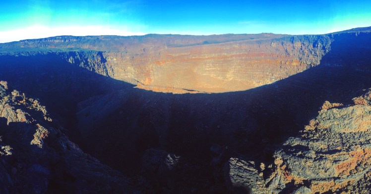
Sunrise over Hualalai volcano.

Waipi’o Valley

Crossing Wailoa stream