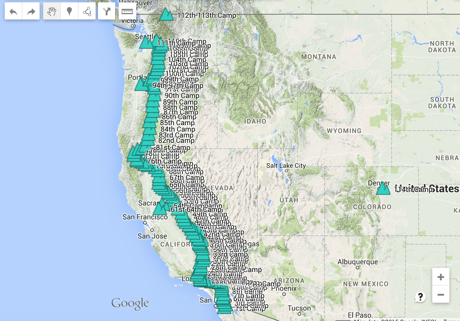
Mile 2144.2 Bridge of the Gods to mile 2292.4 White Pass
Day: 98
The other side of thru hiking.
Day Ninety-eight: 8 August 2015
Start: HM 2144.2
End: HM 2163.6 Rock Creek campsite
GPS Point: 45.766914, -122.038705
Day Total: 19.4 miles
Water at Jen’s, mile 2152.2 seasonal stream, mile 2163.6 Rock Creek
I woke up for the last time on Jen’s super luxurious memory foam bed and felt ready for my day. I had my last shower, ate breakfast, and packed. Then Jen drove me to Vancouver, WA. There is a Skamania County transit with hiker to trail services on weekends. Which is so awesome! Some more beautiful scenery along the Washington route further north than my original ride through the Oregon side. And a super nice driver.
While in transit, I heard from Tami. Coincidentally she was getting on trail at Cascade Locks at the same time as me! What a lucky break! She met me while I was taking lunch at a stream. So excited to hike with her again! We saw a tiny weasel dart by a couple times before it curiously poked its tiny head up at us. It’s disproportionately large ears on its wide eyed face were so cute.
While hiking up the first climb away from the river, I could smell, and then see, the smoke of a fire in the distance on the WA side right by the river. I hope it was settled quickly! Tami said she didn’t see anything.
The river marks the OR and WA border. I am excited for my last 500 miles. Endless returns tomorrow and S&M gets on at Snoqualmie on Thursday. I am stoked to have the group back together. With Tami too hopefully! And we may catch up to Poca as well. Looking forward to these last few weeks!
I only had plans to make 20 miles today. Granted I did have a late start, but it still felt like a short distance compared to my last month of hiking. It was sort of freaking me out, like I was doing something wrong. I arrived to camp just after 6 pm and in bed before 9 PM. There was a slow and social supper where I ate way TOO MUCH FOOD! I haven’t felt this stuffed. My body didn’t work hard enough today to earn all of its trail junk food. This must be the other side of thru hiking. The side where you don’t hike until dark every day, wake up at dawn every day, squeeze miles into every moment of sunlight. It’s slower for sure, but also more social, relaxed, and forgiving. An extra long lunch, or sleeping in, wouldn’t prevent the accomplishment of a 20-25 mile day. Every day becomes a nero. Strange what I have been missing out on.
I am barely awake, but I want to say a few last comments. Saw bats playing over the river water as I was filling bottles. They were darting around without a care for my presence. The river water is incredibly clear crystal and disturbingly calm considering a flowing, rock covered area is immediately at the bridge. I am camped on a spot tilted with roots. It’s actually a make shift fire pit that I cleared away. No more memory foam bed.
Tami and I are setup right by Diatom, a nobo from Santa Cruz. There are several older individuals above us on a flat area too. Today I saw a bunch of sobo hikers. At camp were a big group of five sobo (one named Lucky) hikers who took off to get more miles. How naturally I thought to do the same. And then a few others who were also nobo. Mostly weekend day hikers today though overall.
Day: 99
A sluggish morning.
Day Ninety-nine: 9 August 2015
Start: HM 2163.6
End: HM 2190.6 campsite near spring
GPS Point: 45.866699, -121.787305
Day Total: 27.0 miles
Water at mile 2179.7 Panther Creek, mile 2190.6 spring
I almost stepped on twelve slugs this morning. They were all over the trail! The ground and plants were super dewy and the slugs were out in abundance. Washington should have a strong slug showing. I just hope I don’t accidentally step on one! Washington has banana slugs, which are more special than regular slugs. Identifiable by the black sporting on their skin. I would say mine were a pretty even split between regular and banana.
This morning I passed Country Mouse and Shadow, an older couple I met previously with Poca. They actually camped with us last night and I just didn’t realize. They are awesome! And in our camp again tonight. Shadow was teasing a little girl by Panther Creek about carrying his pack today. She was delighted to have such a funny guy telling her stories. Her father hiked the PCT previously, but they were just out for an overnight. The dad carrying all their belongings.
Tami told me about Yellow Jackets yesterday after we read a note warning of them ahead in this one spot. Apparently some Yellow Jackets have nests in the ground, and if the hole is disturbed, they will swarm out and sting everything in sight. Aggressive little bugs! They are supposedly everywhere in OR and WA. Learning about their holes has me freaked out about every hole I see now. Great.
I am still getting used to the slow and pleasurable hiking ways. I slept in, took a long lunch, hiked slow, sat down for all my afternoon snacks, plus a break just to journal a little. I still made it to camp just before 6 PM. It seems strange to have so much time. Granted I easily spent the two hours after arriving at camp setting up my tent, chatting with Tami and Diatom, and in general, doing nothing. It was great, but also weird. I am sure I will slowly become more accustomed to this. It was quite nice when we had all eaten, set up, relaxed, and prepped for bed all before 8 PM. Not that I am getting a lot done on my journal with this extra time. I am at least finishing the entry for the current day, and I have plans to slowly whittle away at my back logged entries. Leisure hiking could be awesome once I am more settled into the possibilities. This is how I hiked at the beginning of the trail, it’s just that I hike faster now and am more efficient in all my activities throughout the day.
Not a whole lot to write about today. The slugs were the highlight. A lot of climbing and dropping. My legs are resisting the abuse after the cozy vacation in Portland, but they will kick back into gear shortly. Tomorrow my pack won’t be super heavy anymore. Falling asleep. Night!
Day: 100
A magic day!
Day One Hundred: 10 August 2015
Start: HM 2190.6
End: HM 2221.3 large campsite between two creeks
GPS Point: 46.133327, -121.684392
Day Total: 30.7 miles
Water at mile 2192.8 piped spring, mile 2205.7 Bear Lake, mile 2221.3 Trout Lake Creek
This morning started out very relaxed and quiet. I got to sleep in, was on trail by 7 AM, and things were great as I started trekking along. I saw Willow at the spring, a couple miles past camp. We chatted briefly and then I continued forward. After another few miles I came across HM 2195.4 Crest Horse Camp, and to my surprise, there was a sign up for hungry PCT hikers to go and enjoy food. It turned out to be the Lee’s: Lee and Leann, or Carnivore and Starbucks. They live close by and do magic every year. Country Mouse, Shadow, Diatom, Tami, and Dirty Bowl were already there enjoying breakfast. They ate most of the food, but I still had a tasty meal of pancakes, a banana, and orange juice. Willow came in last to finish things off. The Lee’s are so incredible! And they had two super friendly dogs who both wanted hugs and petting. It’s been a long time since I’ve gotten to play with a dog. What a great start to the day!
This was my first encounter with Dirty Bowl and Willow. Dirty Bowl wears a dress. I heard about her from Poca. Willow is from Santa Barbara. He started the trail at the end of March, though, so even with my newly slowed pace, I am not sure I will get to cross his path too much.
After that fantastic breakfast surprise, we crossed mile 2200! It is unreal to think that there are only four more of these crossings. I can still remember back to miles 100 and 200 and how excited I was. Now the end is actually a tangible reality. What an adventure I have been on so far.
After some great views looking back towards Mt. Hood, to the east at Mt. Saint Helens, and forward at Mt. Adams, we were ready for lunch. Tami, Diatom, and I ate at Bear Lake. It was again the last water source for a longer stretch, despite that we were only right at halfway on miles for the day. I did not think about the accessibility of southern Washington having high hiker traffic. Especially since we never seem close enough to go to towns beyond these upcoming resort/store clusters. But there were lots of non thru hikers out today, and it is a Monday. The Lee’s said their camp had probably 100 vehicles through it yesterday with weekend traffic. Crazy!
The trail was wonderfully flat today. The total climb across the whole 30 miles was less than each of the big climbs the past two days. I was very happy. My body felt great, my pack was finally lighter, and I knew it was going to be a special day. At one point this afternoon there was a car parked just off trail with a truck nearby full of people wandering around on this convoluted tangle of dirt roads. All visible from the trail. I thought for sure I would be seeing more magic today. That turned out to be nothing, but I was in for another treat! At HM 2216.2, Geared Up (PCT ’09, AT ’13) and Raven (AT ’13) had a little trail magic again! Cheeseburger, beer, banana, star crunch, pecan sandies. Amazing! There were quite a few hikers too: Erin, Shorty (met him at Donner Pass), Doug, Hummingbird, Potato, Diatom, Tami, and Dirty Bowl. What an unexpected second surprise of some great magic! And to top it off, they had a cooler full of soda and beer a mile later, for what I consider my third magic interaction for the day!
Triple magic, triple happiness, and we made 30 miles. What a day! It was later when we arrived to camp. With the longer miles and added hang out breaks, but so worth it! Ready for bed after hanging out with Shorty, Tami, and Diatom tonight. Dirty Bowl showed up too. Bonus!! Endless rolled into camp around 11 PM. He did some crazy miles the last two days! 30 miles after noon on Sunday, and 47 miles today! Crazy guy! Now we just need S&M back.
Day: 101
Fire and ice.
Day One Hundred One: 11 August 2015
Start: HM 2221.3
End: HM 2246.9 Lava Spring campsite
GPS Point: 46.305070, -121.517936
Day Total: 25.6
Water at mile 2236.6 Riley Creek, mile 2246.9 Lava Spring
“Some say the world will end in fire,
some say in ice.
From what I’ve tasted of desire
I hold with those who favor fire.
But if I had to perish twice,
I think I know enough of hate
to say that for destruction ice
is also great
and would suffice.”
-Robert Frost
Today made me think of this poem. All morning we climbed up Mt. Adams, which was only recently reopened after a fire. There are still spot fires smoldering through the area, and this morning was permeated with a smokey haze and the scent of burning timber and pine needles. Forest fire smell really lingers in your nostrils. You can never fully catch a breath of clean air. Little flecks of ash falling from the sky. I sneezed randomly the whole day. The ice side of today were all the alpine glacier fed streams. Particularly the fording at Lewis River. A multi-channel stream crossing where my toes were thoroughly numb from the frosty cold water before I even made it halfway. My poor feet had several soaks today, and they were all ice cold and numbing. The kind that almost burns when your feet begin to warm up.
The start of today was great. I slept in late due to Endless’s arrival in the night. I had trouble falling back to sleep last night. Then the morning stayed cool and overcast (for which I later realized was a smoke cloud haze) for the long climb all morning until lunch. We had a great lunch by Riley Creek where Shorty and Dirty Bowl were also relaxing. Several sobo hikers went through while we took an extra long lunch. It is so fantastic to not be in a rush all the time, acutely aware of every minute of distraction from the day’s mileage.
The afternoon really set in the fire and ice thought. Leaving the creek, we went around a bend for our first view at the Goat Rocks Wilderness, and it was like walking into a new day. You could see the visible boundary where the clear blue sky met the slightly red toned, smoke filled sky, with Mt. Adams at the center. The fast rushing, icy Lewis River being on the clear sky side of the day. The sun suddenly able to pierce through and shine on our backs while a crisp breeze picked up for a short while. It was a dramatic change and one I really appreciated. The afternoon ended with Diatom, Tami, and I picking huckleberries just before we reached camp at Lava Springs. We arrived early despite the berry picking and spent the evening relaxing and telling stories. We saw Dirty Bowl as we first arrived, but Shorty and she were hiking further tonight. We were eventually joined by Camel, another German hiker. There are a lot of Germans compared to any other nationality beyond U.S. citizen. He recently switched to a hammock, which is pretty cool.
Day: 102
Goats in Goat Rocks!
Day One Hundred Two: 12 August 2015
Start: HM 2246.9
End: HM 2272.3 excellent ledge camp area
GPS Point: 46.49537, -121.46440
Day Total: 25.4 miles
Water at mile 2263.3 seasonal stream, mile 2269.9 Cispus River
Today we realized that the fire is coming from a different area than the Mt. Adams Fire Complex. That’s why the smoke was so abundant and the sky so orange. Crazy! Washington is supposed to have stunning views, but it sounds like it will be mostly smoke covered for me. The sun was hazed out most of the day, a strange twilight red, which was actually quite lovely for a cool day. But even tonight while prepping for bed, the ash was still falling.
Today went really well. I was surrounded by lots of great people! Shadow and Country Mouse, a man riding towards me on a horse with another in tow, Silver and Calamity, Samson, Camel, and of course Diatom, Tami, and Endless. Coming over Cispus Pass there were lots of other non-thru hikers too.
The views going into Goat Rocks Wilderness were fantastic! First was a glimpse at Goat Rocks before the trail wrapped around and I was looking back at Mt. Adams with the orangey smoke billowing up before dispersing throughout the sky high above. Then we started up Cispus Pass, 6474 feet. Truly mesmerizing. Goat Rocks are beautiful! And the glacier cut valley dropping down into green, lush forest is spectacular. I took heaps of photos. Photos on my mobile since I brilliantly am without a real camera… While hiking up, Tami, Endless, Diatom, and I were playing a trail game called Contact. We merrily hiked to the top of the pass and had to stop to take in the whole sight. On the other side was an equally breathtaking open valley. The headwaters to Cispus River continuing to shape the valley, Goat Rocks looming overhead with a herd of mountain goats spreading out in the valley grasses above us, the icy cold Cispus River and many tributary streams and mini falls, the sun overhead a bright twilight red as if setting high in the sky of smoke, and everything just so calm and spectacular. It was truly a grand part of the trail. Possibly my favorite part of the trail, at the least for the last month.
We are camped at this perfect cliff ledge alcove. Views out at the multitudes of neighboring ranges, and Mt. Saint Helens a bit too blocked by smoke. The smoky haze parted just enough for a sunset view. The air actually cool for once. Expansive, yet cozy. It is perfect. Samson is camped with the four of us. He is so incredibly nice! From Mississippi, he is extremely generous and gentlemanly. He gave the four of us homemade beef jerky and chocolate covered peanuts.
Only downside to my day was being bitten by a yellow jacket. Right on my calf. Little nasty creatures!
Day: 103
The smoke finally cleared!
Day One Hundred Three: 13 August 2015
Start: HM 2272.3
End: HM 2292.4 The Village Inn, room 31
GPS Point: 46.63905, -121.39044
Day Total: 20.6 miles
Water at mile 2277 seasonal stream
This morning the trail immediately climbed away from camp, but the uphill seemed easy.
We were headed for Knife’s Edge. There was a moment when suddenly Mt. Rainier was visible ahead, Mt. Adams looming behind, and Mt. Saint Helens a distant glimpse at the horizon. It was an incredible view. I am delighted the sky cleared last night. Even last night’s stars were bright and twinkling. A meteor shower or something allowing several shooters streaking across the sky. After walking across and down Knife’s Edge, and the great photo opportunity it continuously provided, there was a small hiker gathering at a stream. Diatom, Tami, Silver, Calamity, Samson, Endless, and I hung out briefly for a water fill up. We were 15 miles from town. There was a short, steep downhill section followed by the seemingly very challenging Tieton Pass. Eventually we hit the final downhill after a short lunch and I was walking Hwy 12 into town by 2:30 PM. Camel gave Diatom and I leftover drinks he had. It was almost like trail magic! The magic we thought would be at the Trout Lake road crossing or the White Pass trailhead.
White Pass is really just a ski resort with a gas station convenience store and lodge. But it’s a cool place. The store is called the Krackel Barrel, not the restaurant. But it has the things hikers need. And they accept our packages. The woman running the place has a coffee bar and limited food options. Everything tasted just right!
The four of us all got a room at the lodge. Which is super cute! I would definitely stay here and ski in the winter. And the people are so nice. The rest of the crew showed up, we made a game plan for showers, laundry, and loitering at the store. When I headed back to the store, I went straight for a wild berry slushy drink and Oreos. When I got my packages, I was surprised all over again that my good friend, Dani, sent me a care package! It was full of cookies and other yummy treats! What a special surprise. And a very satisfying and tasty one too.
The goal of tonight was to have lots of fire discussion and get a head start on logistics. There are new fires and route closures across about 150 miles of trail. We are in the cozy Village Inn room 31. I needed and wanted a shower and clean laundry. I also bought a frozen pizza, veggie tray, beer, and Gatorade for supper. We watched the movie Source Code. And then went to sleep. The day was a good one.